
Walk a South Elgin Street
A useful South Elgin street directory begins with the address, not a guessed resident name. The county assessment card identifies the parcel and its tax-roll owner. KaneGIS then confirms which mapped parcel sits at the address and supplies nearby parcel context. The Recorder connects that parcel to recorded transfers. The voter tool and old directories can confirm a named person only within their own limits. Keep a source note for each result because an owner, a taxpayer, a registered voter, and a person printed in an old directory may be different people.
- Enter the house number, street name, street type, and South Elgin city value in Kane County DevNet. Save the PIN, situs address, owner display, legal description, and tax mailing address.
- Search the address or PIN in KaneGIS4. Confirm the municipality and parcel shape, then note the parcels on both sides.
- Use the PIN or owner in the Kane Recorder Land Records Search. Match the legal description before accepting a deed as part of the chain.
- Test a known surname and street in the Kane voter search. Treat a match as election status and district evidence, not a street roster.
- For an older household, use address-indexed Elgin-area directories and preserve the number and spelling exactly as printed.
This sequence moves from a stable parcel key toward narrower person evidence. It also makes errors easier to spot. If the street number points to the wrong parcel, the PIN and legal description provide a sound way back to the right property.
Search South Elgin by Address
DevNet has three routes: Parcel Search, Advanced Parcel Search, and Mobile Home Search. The basic form accepts a PIN, owner, or address path. Its address fields are especially useful for a street directory because house number and street parts remain separate. Results can show the year, property account number, owner, address, and property type, with a CSV export. Advanced filters add sale dates and prices, tax years, townships, districts, property classes, and subdivisions. Available choices come from the live form and should not be guessed.
| DevNet field | Input | How it helps by street |
|---|---|---|
| Parcel Number | Text, with or without dashes | Returns to one known parcel without relying on its street form. |
| Owner Name | Tax-bill name | Finds other indexed parcels tied to the displayed owner. |
| House Number | Number | Narrows the address when a street has many parcels. |
| Street Name | Name only | Supports a named-street search. |
| Street Type | Such as ST, RD, or AVE | Separates similar street names and forms. |
| City | Locality | Limits the query to the South Elgin label when indexed. |
The card is updated public assessment data, not a substitute for a tax bill. History also varies by parcel. The county FAQ confirms tax data back to 2004, while the inspected sample displayed a broader year selector, so check the actual card instead of assuming one fixed span.
Map South Elgin Street Parcels
KaneGIS4 turns the list into geography. Its Find control accepts an address, PIN, or subdivision. A parcel popup can show the municipality, situs address, secondary address, acres, and PIN, plus a link back to DevNet. Map, aerial, and hybrid views help distinguish the parcel from a nearby building or road segment. District, zoning, flood, TIF, school, fire, library, railroad, Fox River, and other layers add public context without changing who owns the land.
The county warns that mapped lines are approximate. They do not replace a deed, plat, or survey. Use the map to identify a likely parcel, then compare the legal description in the tax and deed records. This distinction matters at subdivision edges and near the Fox River, where a line on a screen can look more exact than the underlying data allows.
The Kane County GIS resources shown here lead to the current viewer and county cautions.
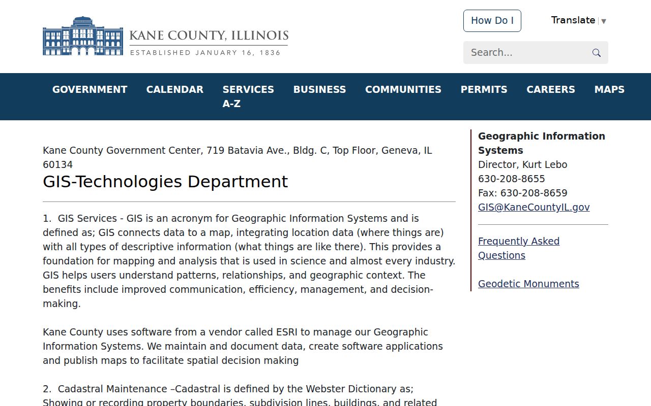
The captured page marks the official GIS route used to place address results in their parcel and district setting.
South Elgin Street Record Coverage
No single source answers every address question. The strongest street directory keeps the scope of each record visible. A tax card names the assessed owner, a deed records a transfer, a permit documents work, and a directory records a publisher's placement in one year. The PIN ties several county systems together, while the exact street address anchors municipal requests.
| Address source | Custodian | Useful street evidence | Access route |
|---|---|---|---|
| Tax parcel | Kane Assessment / DevNet | Owner, PIN, situs and mailing addresses, values, exemptions, sales | Free web search |
| GIS parcel | Kane County GIS | Shape, nearby PINs, acreage and districts | Free viewer; lines approximate |
| Deed or plat | Kane County Recorder | Transfer parties, legal description, lot and block | Free index; office or paid copies |
| Permit file | South Elgin Community Development | Project, applicant, plans and inspections if released | Department or FOIA request |
| Code file | South Elgin Community Development | Notice, inspection, hearing and closure | Address request; no complete web index |
| Voter match | Kane County Clerk | Status, precinct, polling place, districts and sample ballot | Name and street search |
| Old directory | Libraries and digital catalogs | Historical name and address placement | Selected images, shelf, microfilm, or staff help |
When the web route stops, use the actual custodian. Recorder staff provide research-room access, the village accepts defined requests, and library staff can help locate a volume that is not online.
Trace South Elgin Street Deeds
The Recorder index searches by name, document number, PIN, and advanced criteria. Begin with the current tax owner or a deed number copied from the parcel card. On the deed, record the grantor, the person transferring an interest, and the grantee, the person receiving it. Then search the grantor as an earlier grantee. Match the PIN, subdivision, lot, block, or other legal description at every step. A street number alone can drift over time.
The advanced Kane Recorder search pictured below is the public route for deeper deed criteria.
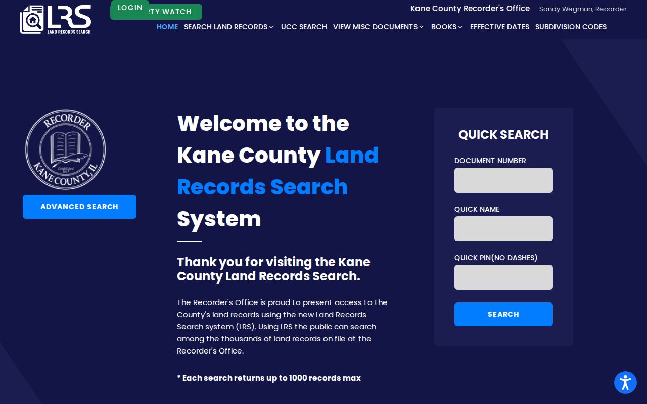
The image shows why the deed search belongs after the parcel step: a known PIN, party, document number, or date gives the index a precise starting point.
The office says its land records reach back to 1837, but it does not publish the exact beginning of the web index. Older work moves to the public research room in Building C, Geneva, where tract books, grantor-grantee books, and microfilm can continue the chain. Six public computers are available during weekday research-room hours. Web printouts are unofficial; a certified copy comes from the Recorder.
Older-record tip. A missing web result does not end a South Elgin deed chain. Carry the legal description and PIN to the Recorder's office collection.
Read South Elgin District Layers
A parcel popup can place a South Elgin address within school, fire, library, sanitary, special service, and TIF districts when those attributes are present. The tax card may name the same taxing bodies. Comparing them creates a district fingerprint that can separate similar addresses and reveal which public office may hold a related record. Zoning and flood layers describe land-use context, while sales and board-of-review layers serve other parcel questions.
- Parcel
- A mapped and assessed unit of land, usually carried across Kane systems by its PIN.
- Situs address
- The physical location assigned to the parcel, distinct from the address used for tax mail.
- Plat
- A recorded map that lays out a subdivision, lots, blocks, streets, and easements.
- Criss-cross directory
- A directory arranged by street and house number so an address can lead to a printed name.
These terms keep the evidence in the right lane. A mailing address may belong to an owner or trustee elsewhere, and an owner-occupied exemption is a signal on a tax record rather than proof of continuous residence.
South Elgin Files by Address
Building and code records add events that the county parcel systems do not show. South Elgin accepts permit applications in person or by email, reviews plans, and schedules inspections. Its form library covers many project types, but no complete public parcel index was found. Ask Community Development for existing records tied to an exact address, a date range, and a project type. Include the PIN when known.
The South Elgin permit page captured here explains the direct department route.
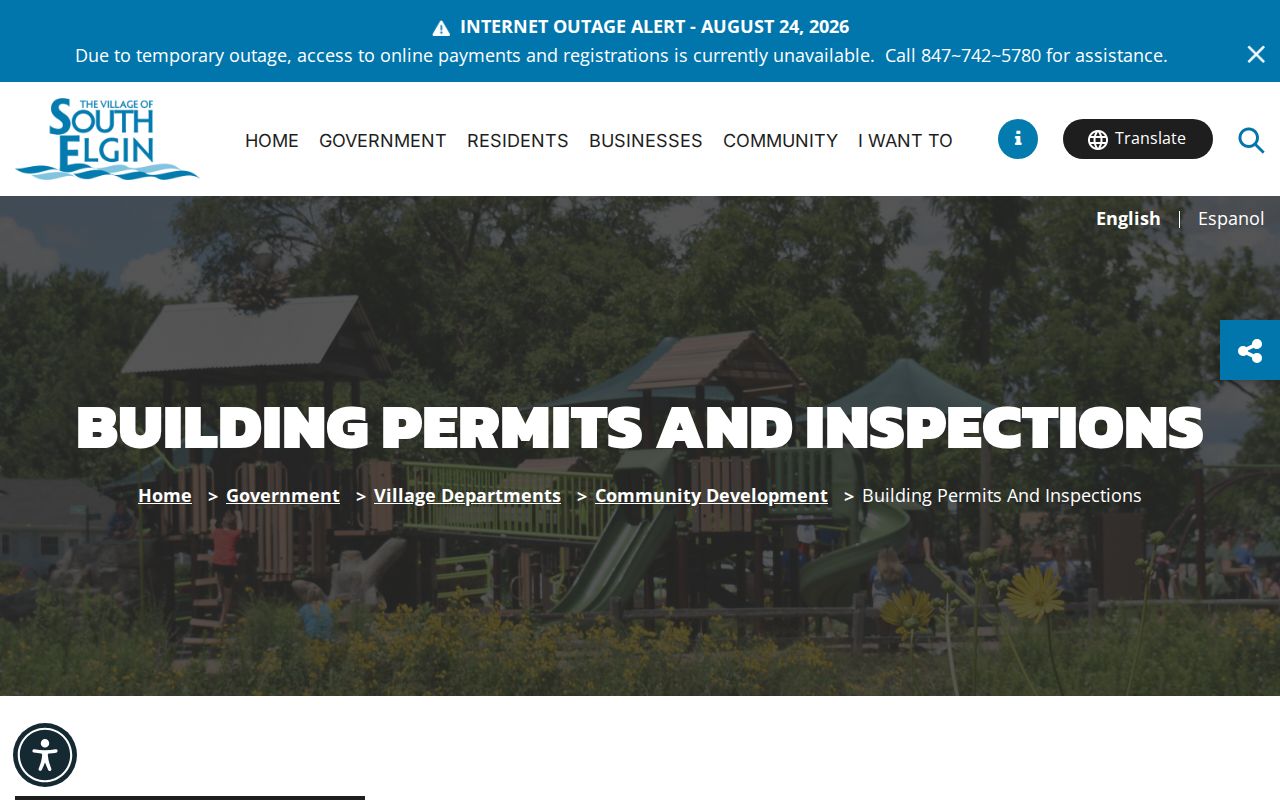
The capture helps separate current application guidance from the historical file that must be requested for one property.
Code enforcement also begins with an address. A releasable file may distinguish the complaint, inspection, owner notice, administrative adjudication, and final resolution. Cases are not offered as a public web search, and private portions may be withheld. The village code-enforcement page shown below is the official starting point.
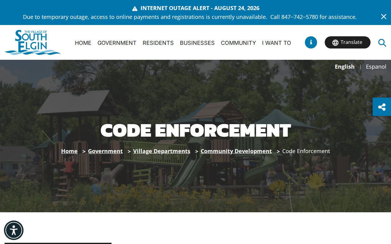
The page confirms an address-led process, not a live list of all cases along a street.
South Elgin Street Numbers Shift
Historic South Elgin work can fail because the label changed, not because the record vanished. The community began as Clintonville, the post office took the South Elgin name in the mid-1880s, and the village incorporated in 1897. Legal descriptions can still preserve West Clinton. Elgin-area directories may also catalog South Elgin under Elgin.
The Gail Borden house-research guide documents numbering changes in the 1870s, 1884, and 1894. It notes changes such as Race to Water, Main to State, and Bridge to West Chicago. A house may appear under three numbers across the run. Preserve every printed form, compare maps and cross streets, and use the legal description as the bridge. The dedicated South Elgin Directory Book page covers the old volumes in depth.
Note: Never replace an old number in a transcription; place the modern match beside it as a separate, sourced research note.
South Elgin Voter Street Checks
The Kane County form asks for a last name plus either a house number and street or the street name alone. A successful match can show registration status, precinct, polling place, voting districts, and a sample ballot. It does not show a birth date, party enrollment, or ballot choices. More important for a street directory, the form is match-oriented. It is not a tool for listing every voter on a block.
Illinois limits disclosure and reuse of bulk voter data. The separate bulk route is tied to certified political purposes and fees, not a general public download. For personal family or civic research, use the public form only to test a known person and address. If the goal is ownership or parcel adjacency, return to DevNet and KaneGIS instead of stretching a voter match beyond its scope.
Limits of South Elgin Street Records
A South Elgin street directory cannot establish everyone who sleeps, receives mail, or spends time at an address. Tax rolls usually identify an assessed owner. Deeds show recorded transfers. Voter results show limited election status for a match. Old directories reflect what a publisher printed in a given year. Utility customer lists and private delivery records were not found as public sources, and motor-vehicle address data is protected.
Deliberate gaps also exist. Sealed or expunged court records, protected voter data, and the Illinois Address Confidentiality Program can keep an actual address out of new public records for qualifying victims. An old public record may still remain. These limits protect people and should not be treated as errors to work around.
Lawful personal use. Use South Elgin address records for legitimate research, property questions, and family history. Never use them to stalk, harass, intimidate, or harm anyone.