
South Elgin Neighbor Record Layers
No official source publishes one complete roster of South Elgin neighbors. The reliable method combines a map with one-record-at-a-time checks. KaneGIS defines the parcel set; DevNet supplies the tax-roll owner for each PIN; deeds and plats explain the legal block; municipal files add address-linked events. Voter and association sources have much tighter limits.
| Source | What It Shows About a Block | Access |
|---|---|---|
| KaneGIS click and zoom | Adjacent shapes, PINs, districts, and situs context | Public viewer; geometry is approximate |
| KaneGIS buffer | PINs or addresses within a chosen distance | Public guide; owners require DevNet |
| DevNet tax cards | Owner, situs, mailing address, class, and tax districts | Free, one parcel at a time |
| Recorder plats and deeds | Lot, block, subdivision, easements, and transfers | Web index or Building C |
| Kane voter search | A specific match's status and election geography | Not a block roster; statutory limits |
| Permits and code files | Defined address-linked municipal events | Department or FOIA request |
| Directories and newspapers | Past names, addresses, and civic clues | Coverage varies by title and year |
Owner and occupant are different facts. A tax mailing address may point elsewhere, an exemption is only an evidence signal, and a historic directory records what its publisher printed for that year.
Save enough detail for another person to repeat the work: the starting address, each PIN, the map date, the tax year, and the source URL. A reproducible block list is far more useful than a screenshot with no date or scale. It also makes later changes visible. New parcel splits, corrected situs addresses, and updated GIS layers can otherwise look like mistakes in the earlier notes.
Map South Elgin Neighbors' Parcels
The South Elgin interactive maps page provides zoning, private-development, flood-hazard, and parks or facilities context. These layers describe land use. They are not an owner directory.
Use the village layers to understand the site, then move to KaneGIS for parcel-level PINs and verify each mapped lot separately against the current public tax card.
- Search the target address in KaneGIS4 and select the matching PINInfo result.
- Save the target PIN, situs address, municipality, and map date. Zoom until each touching parcel is clear.
- Record nearby PINs clockwise around the block. Use the buffer only when a stated radius better fits the question.
- Open each PIN in DevNet and copy the owner, mailing and situs fields separately.
- Use the plat or deed only when lot boundaries, an association declaration, or a transfer needs confirmation.
For a whole named road rather than one immediate block, the South Elgin street directory owns the longer address-by-address workflow.
Use South Elgin's Buffer Carefully
The Kane GIS buffer guide gives a repeatable radius method. Search an address or PIN, click the gold PINInfo result, enter feet in Buffer Dist, and select a source. Its raw default is 250 feet. The controls can return situs or mailing addresses and offer Mail, Situs, MapIt, and ClearIt actions. State the distance and source in your notes.
A buffer does not return a verified list of people. Transfer every PIN to the Kane DevNet search. Check whether the card's physical address matches its tax mailing address, then preserve the property account number and tax year. Do not infer that a named owner is present today.
Corner parcels need special care. Their postal address may face one road while the lot touches another. Apartments, common parcels, detention ponds, and association land can also produce one PIN that does not correspond to one household. Keep those lots in the geographic set, but label their role before counting them as nearby homes. A plat can resolve uncertainty about common areas and easements.
- PIN
- The parcel identification number used to connect map, tax, and deed records.
- Situs address
- The physical address assigned to the parcel.
- Mailing address
- The address used for tax correspondence, which may be elsewhere.
- Buffer
- A chosen distance drawn around a map feature to identify nearby parcels.
Read South Elgin Neighbors' Districts
KaneGIS layers can show municipality, fire, school, library, sanitary, election, TIF, zoning, flood, rail, Fox River, and watershed context. DevNet cards may list those taxing bodies for an individual parcel. Together they explain why adjacent homes can use different services or appear in different local collections.
District lines are useful checks on a block because they come from a different part of the public record than an owner's name. If two touching parcels display different library, school, fire, or municipal labels, record that boundary instead of smoothing it away. Layer dates can vary, so confirm an important finding with the taxing-body list on the current parcel card or the office that maintains the district.
The village library-district page says South Elgin is divided between Gail Borden and St. Charles library districts and directs residents to the parcel tax bill to verify the actual district.
That district clue determines which local-history desk and licensed databases may be available to a particular parcel.
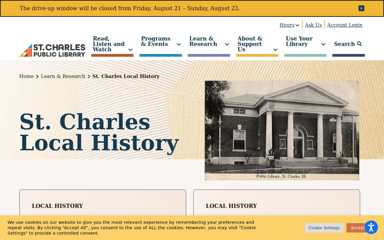
For the St. Charles district, the St. Charles local history collection supplies maps, photographs, newspapers, HeritageQuest, and Historic Map Works.
Its Illinois Digital Archives collection adds digitized material for historical block research.
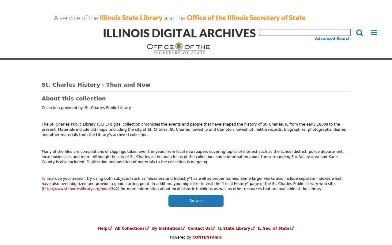
These sources supply past context, not a present patron or household list.
South Elgin Neighbors and Voter Limits
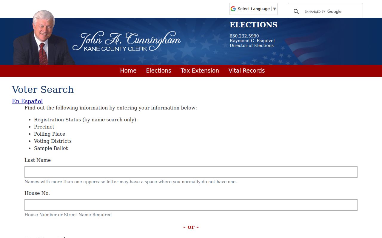
The Kane County voter search guidance leads to a lookup that asks for last name plus house number and street, or a street input. A match can show status, precinct, polling place, districts, and a sample ballot. It does not expose birth date, party enrollment, ballot choices, or a public list of every voter nearby.
Illinois Election Code limits general disclosure and reuse. The county's bulk-file process is a separate certified political-purpose route, not a shortcut for creating a neighborhood roster.
Note: A failed voter match may reflect the query, registration status, a protected address, or a boundary issue; it does not prove absence.
Verify South Elgin Neighbor Boundaries
No official village source located in the research pass lists every South Elgin neighborhood association, HOA boundary, or member roster. A subdivision plat, recorded declaration, or focused records request is the sound way to test legal coverage. Village commissions and public meeting minutes provide civic contacts, not private neighborhood membership.
Begin with the subdivision name on DevNet or KaneGIS. Search the Recorder for the plat and any declaration tied to that name, lot, or PIN. The recorded document may define common land, easements, and the parcels subject to covenants. A public association website can then supply general contact or meeting information, but it should not be used to infer an unpublished member list.
| Group or Source | Verified Area | Public Status |
|---|---|---|
| South Elgin committees | Village-wide boards | Agendas and minutes, not a neighbor directory |
| Library districts | Parts of South Elgin | Service geography public; patron data private |
| Unnamed associations | Not established by an official table | Check plats and declarations |
Woodbridge South shows why names and proximity can mislead. The official HOA site places its 372-home subdivision east of Randall Road along Hopps Road in the City of Elgin.
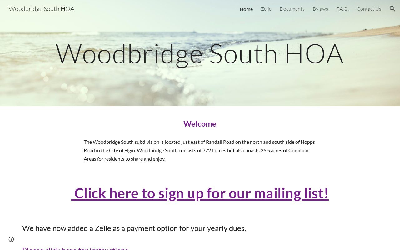
It is useful adjacent-area context, but it must not be relabeled as a South Elgin association.
Choose Official South Elgin Block Evidence
Official sources separate the evidence into defined fields and identify the custodian. Commercial neighbor tools may combine old directories, marketing data, and public records without showing when each item changed. That can make a smooth profile look more certain than the underlying record.
| Method | Strength | Limit |
|---|---|---|
| GIS plus DevNet | Reproducible parcel and tax-roll fields | Owner is not necessarily occupant |
| Plat and deed | Legal lot and transfer evidence | Does not list all household members |
| Permit or code request | Custodian-held address event | Requires a defined request |
| Commercial category | May offer a quick lead | Source dates and corrections can be unclear |
Use commercial output, if encountered, only as a clue. Return to the named official office before treating an address, owner, district, or transfer as current.
Protect South Elgin Neighbors' Privacy
A parcel card does not list every occupant. Private delivery and utility customer records are not public lookup sources, and the county web voter form does not enumerate a street. Court, juvenile, adoption, vital, and other files may be sealed, restricted, or redacted. Historical directory entries also should not be republished as if they describe the present block.
Absence has many causes. A renter may never appear on the deed or tax card. A recent buyer may not yet be reflected in a roll. A parcel can use a trustee or separate mailing address. A directory may skip a year, and a voter query may fail because the input does not match the registered form. Mark the result as unknown until a suitable record confirms it. Recheck after the custodian updates its data.
The Illinois Address Confidentiality Program gives eligible survivors a substitute address for new public records. It does not erase every old record, but it means a missing actual address can be intentional and protective.
Lawful use. Learn about South Elgin neighbors for civic context, reunion, or personal safety. Never compile or use block records to watch, harass, intimidate, or harm anyone.